|
Fly by Satellite Over
Continental US
It's free, and you can see what's become of your childhood
home, your old high school football field, or your favorite camping spot.
We
all know that, when we're looking for an unfamiliar airport, it's possible to
fly right over the top of it, and not see it; this gives us a chance to see what
we're looking for, before we miss it.
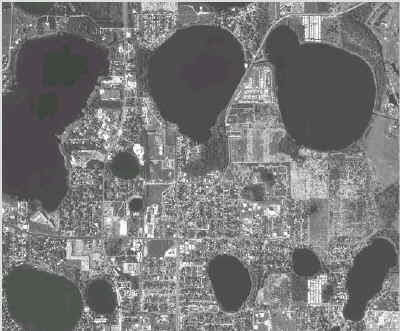
Using imaging satellites, such as the
Ikonos, TerraFly has put together sunny-daylight (yes, even in Seattle) images
of the entire continental United States. Type in an address, or a zip code, and
they'll take you there.
If you'd prefer to put in the lat/long coordinates,
that's OK, too. The images go there, at the speed of a mouse. Details down to
the size of a small car are plainly visible, in the near-vertical color
images.
At least, that's how it's supposed to work. Our efforts yesterday
were met with a frustrating bunch of "not available" messages. If you don't all
pile on at once and swarm their server, you'll be able to get the images you
want, they assured us.
The database was developed as part of a long-running
computer-research project. The idea is really cool, no?
FMI: http://www.terrafly.com/
|
 |